Comune di Olmo al Brembo

As many of three of the historic trails run through Olmo al Brembo. The Priula Way, the Iron Way and the Mercatorum Way all reach the main town. The latter, according to the choice of routes suggested by the current situation, uses path 129A from Piazza Brembana, which from the high slopes of Corna Rossa descends into the town. Therefore, in the absence of any precise historical tracks that could be reinstated, the CAI path 105B was chosen, relatively easy to walk after having improved the safety of some short intermediate stretches located after the rock arch. In order to avoid having to walk along the road, albeit for just a short stretch, hikers can go right to the end of Via Portici, reaching the bridge over the river Acqua Nera, and, without crossing it, proceeding directly on the path leading to the roadway.

Tracciato Storico

Itinerario escursionistico

Difficoltà:
Lunghezza percorso: 4070m
Dislivello: 130m
Tempo di percorrenza: 1:40
Note: "Segnaletica: placche metalliche CAI 129 A.
Connessioni con trasporto pubblico: Olmo al Brembo.
Ricettività: Olmo al Brembo.
Altri percorsi escursionistici convergenti: diramazioni locali per la Corna Rossa e per Frola; connessioni con la Via del Ferro e con la Via Priula."
OL1

Boundary cross.

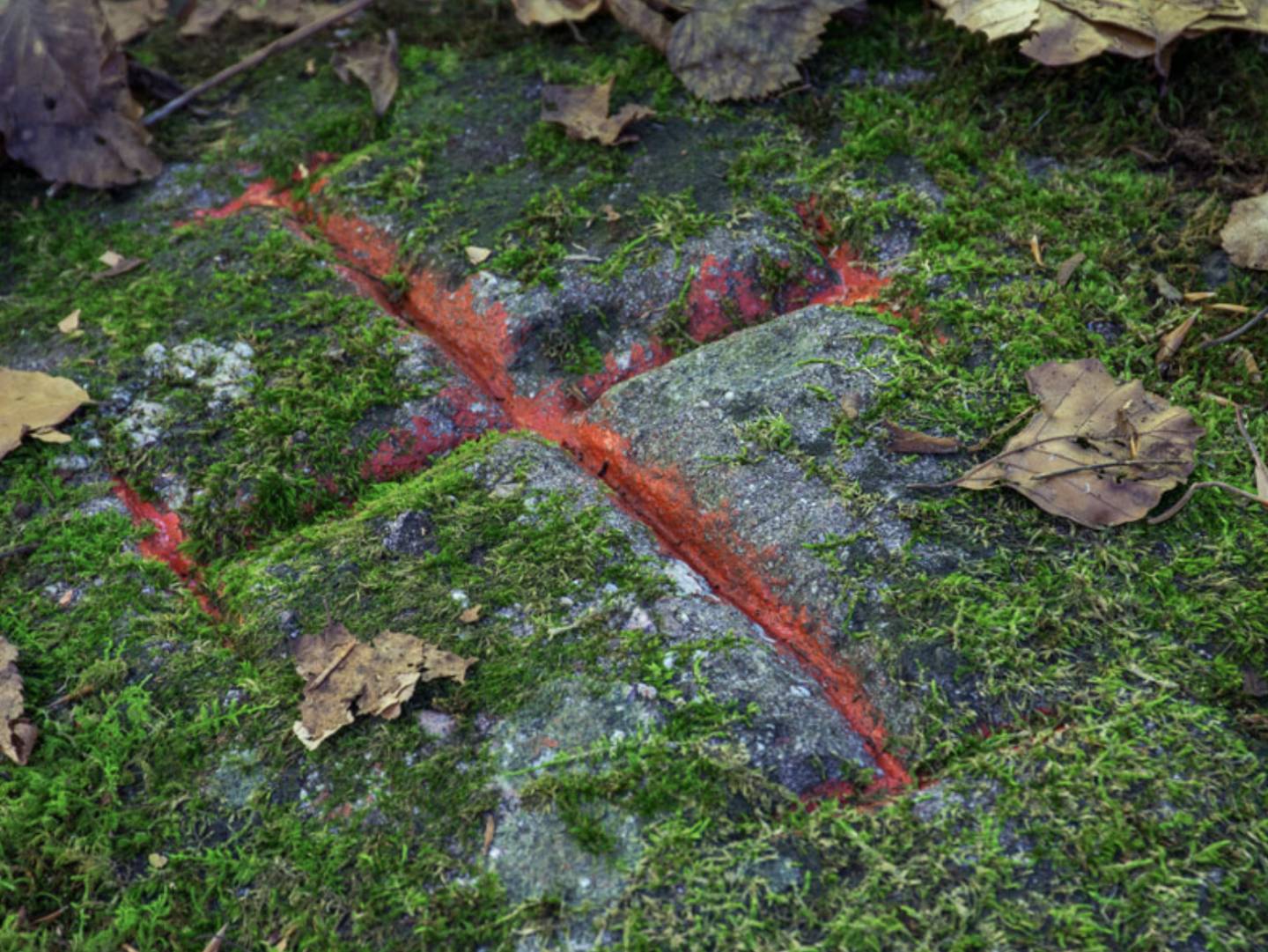
Until 1980, the municipal territory of Piazzolo, a settlement in the Brembo di Mezzoldo valley, had an additional portion beyond the ridge of Corna Rossa, forming a spur between the territories of Piazza Brembana and Olmo al Brembo. This cross marks the boundary point between Olmo al Brembo and Piazzolo..

OL2

Arco Büsa della Pizzarèla

Located at a height of 724 metres, straddling path 105B, this is a wide arch in the rock wall. A rustic stone building stands next to it.