

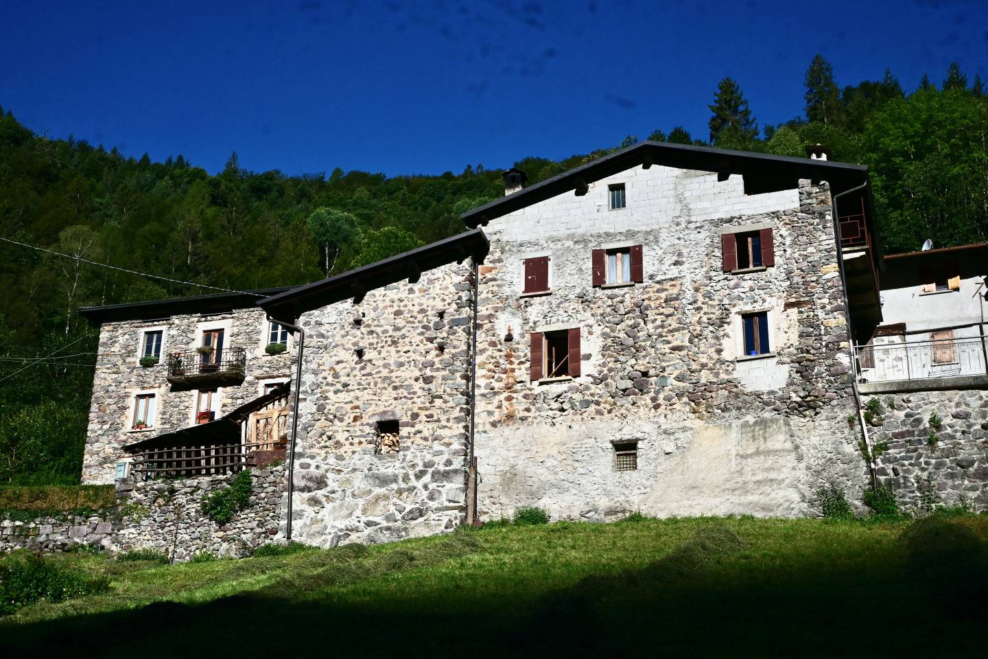
The district named Caprile Inferiore comprises a group of terraced buildings, resembling a fortified structure. The documents do not provide information on whether this locality had a role as a military garrison in the past, but its function and location at the entrance to the Val Mora valley on the Mercatorum Way suggest that such a role was in fact performed, albeit not officially. The structure of the ancient and impressive stone portal that can still be seen shows that at one time the village could have been easily isolated from the outside world, with the help of the defensive walls that were probably present. It is possible that the tactical function of Caprile Inferiore was particularly important during the Middle Ages, coinciding with the bloody feuds resulting from the Guelph-Ghibelline struggles that also involved the upper Brembana Valley and the Averara Valley territory.
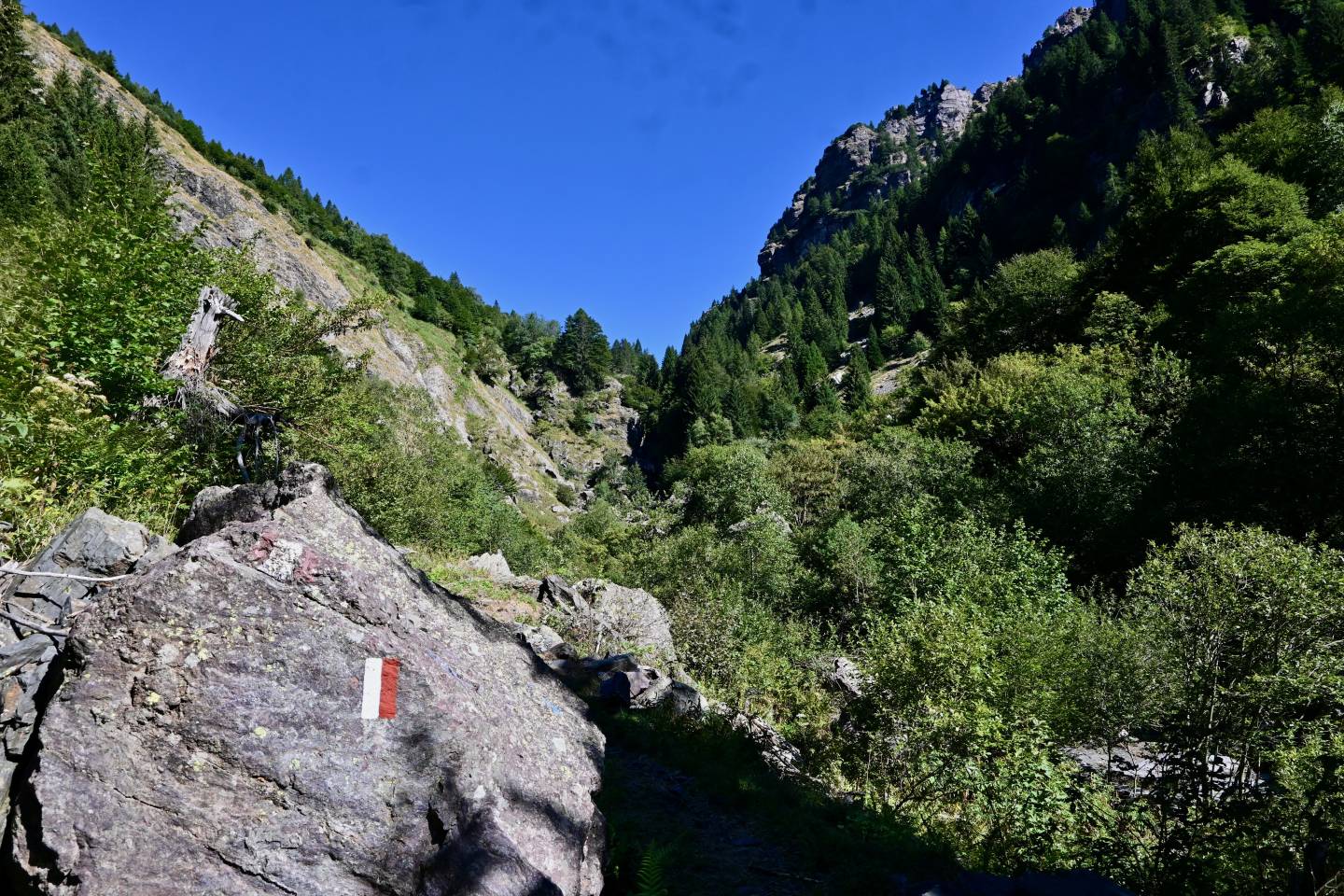
The entire Val Mora valley area, right up to the mountain ridge, is part of the Valtorta and Valmoresca SCI, an area of 1,682 hectares, with a wealth of woodland, meadows and pastures. Chamois and roe deer populate the valley, while the Sanguisorba dodecandra, or Orobica salvastrella, is an endemic plant found near alders.
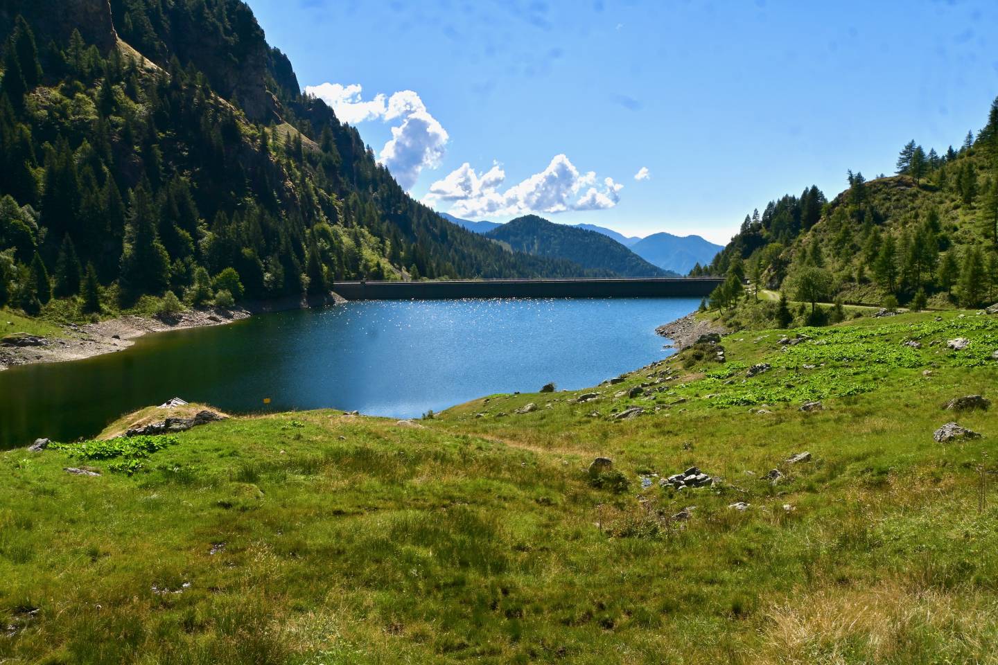
Lake Val Mora is an artificial reservoir, trapezoidal in shape, created by damming the Brembo, its main feeding river, with a dam built in 1953. It is part of the hydroelectric plant managed by the Italgen Company, consisting of the dam and lake, and a headrace tunnel that brings water to the Ponte dell’Acqua hydroelectric power station located in the municipality of Mezzoldo, on the state road SS 470, equipped with a Peton horizontal axis hydraulic turbine and a 1,900 kW power generator.
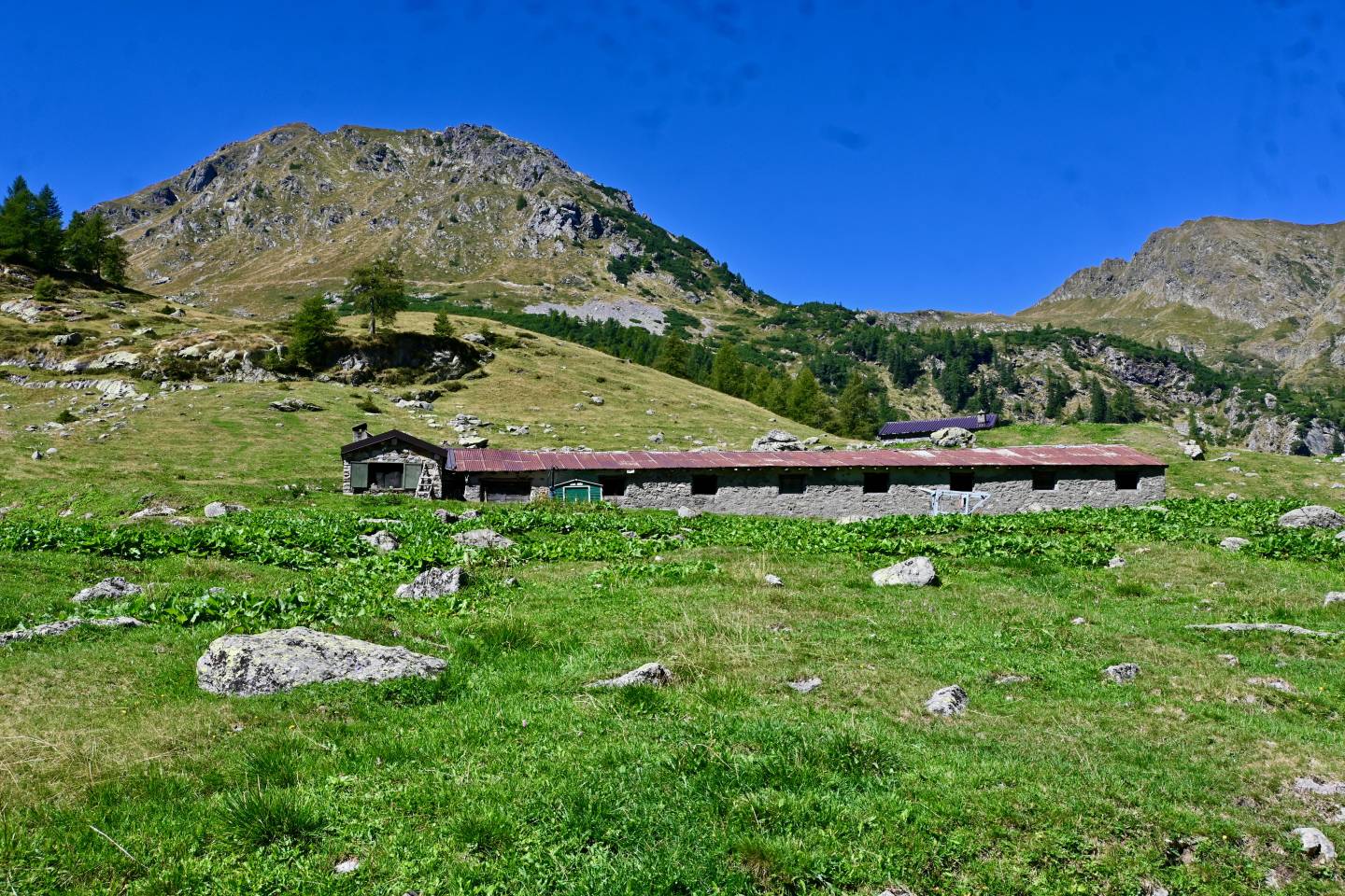
This is the only dairy on the Mercatorum Way today. This dairy is traditionally linked to its alpine pastures, originally known as Pizzo Gallo, used by cattle in the summer season and covering 187 hectares (150 of which are grazing land) between 1,600 and 2,100 metres above sea level, with two mountain huts. The average duration of high-altitude grazing is 88 days, with brown Alpine cows and Orobic goats. The dairy makes and sells formai de müt cheese, butter and mascherpa cream cheese on site. “The municipality of Ponteranica purchased, probably in the 16th century, vast estates at high altitudes from the community of Valle Averara to establish a summer pasture there for village landowners who sent their herdsmen there annually. Every year at the end of June, on payment of the appropriate fees, the families of Ponteranica could entrust part of their livestock, usually cows and sheep, to the municipality’s herdsmen who would take them to the mountains, looking after them until the end of August. At the end of the season, the value of the cheese that had been made and the wool that had been shorn was subdivided amongst the owners, in proportion to the number of animals in the alpine pasture’’ (Moris Lorenzi).