

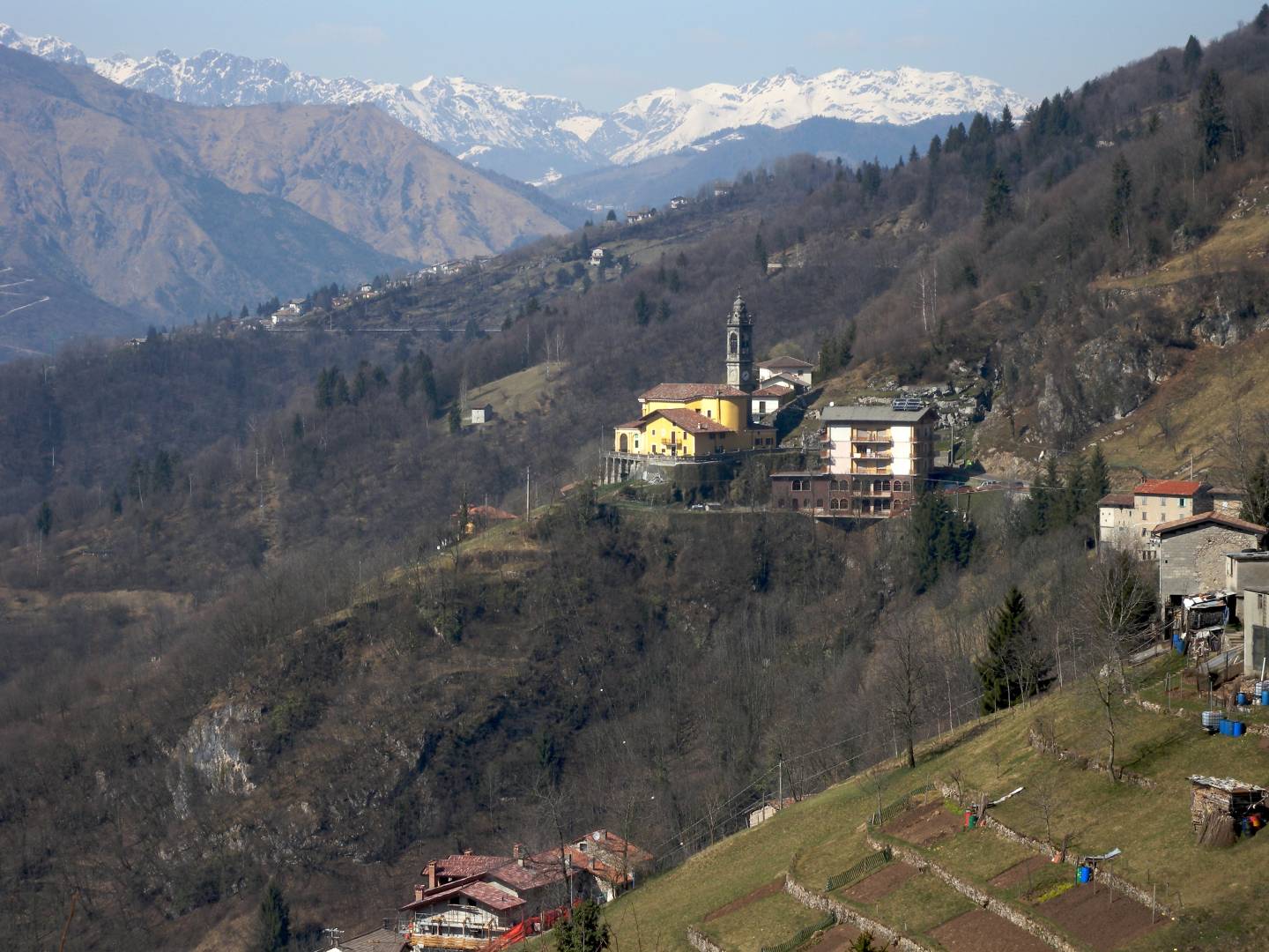
Along with Ascensione and Ambriola, Trafficanti comprises the entire territory of the municipality of Costa Serina, which today is the third largest municipality in the Valle Serina Valley in terms of population. In the past, these locations played a very important role in the circulation of goods between the Seriana and Brembana valleys, as a result of the Mercatorum Way. Even today, this activity is still referenced by this hamlet’s place name: Trafficanti in fact recalls the important activity of trade (hence “traffic”) that hallmarked this area, both as a route for minerals arriving from the Dossena mines, and for the presence of retailers of goods and foodstuffs. Situated on the road that connects Serina with Selvino, two towns with notable tourist appeal and a flat road profile, today it is a favourite route for walks suitable for all. The climate is mild as a result of the mountain chains (Suchello, Pizzo Forcellino, Forcella) that surround the area, sheltering it from cold winds.
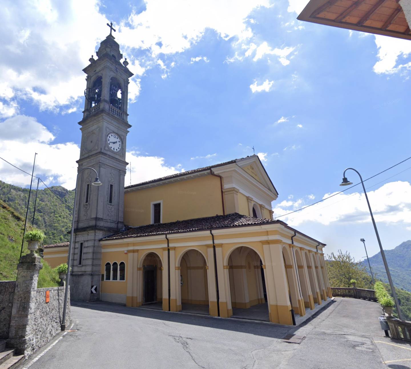
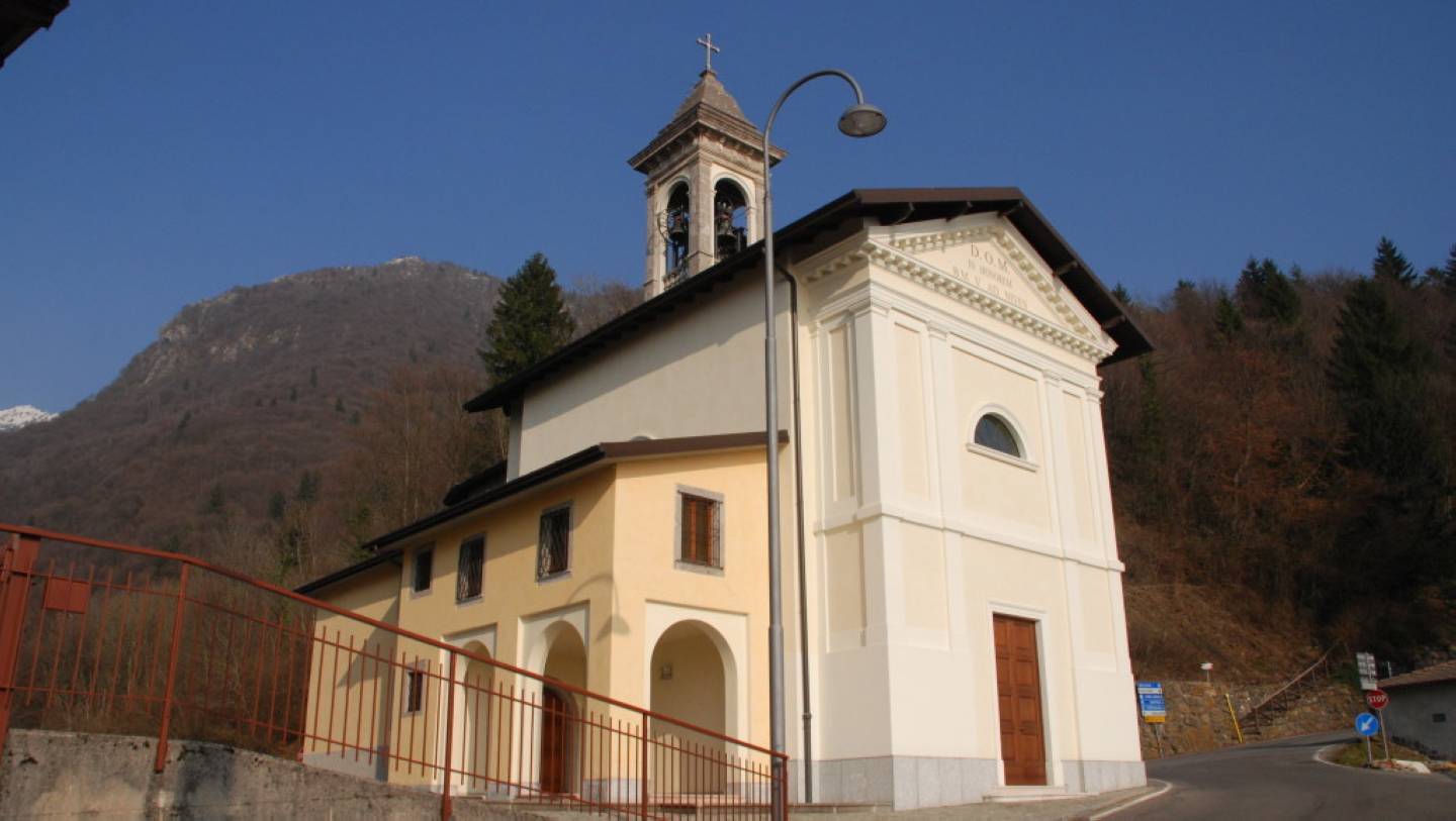
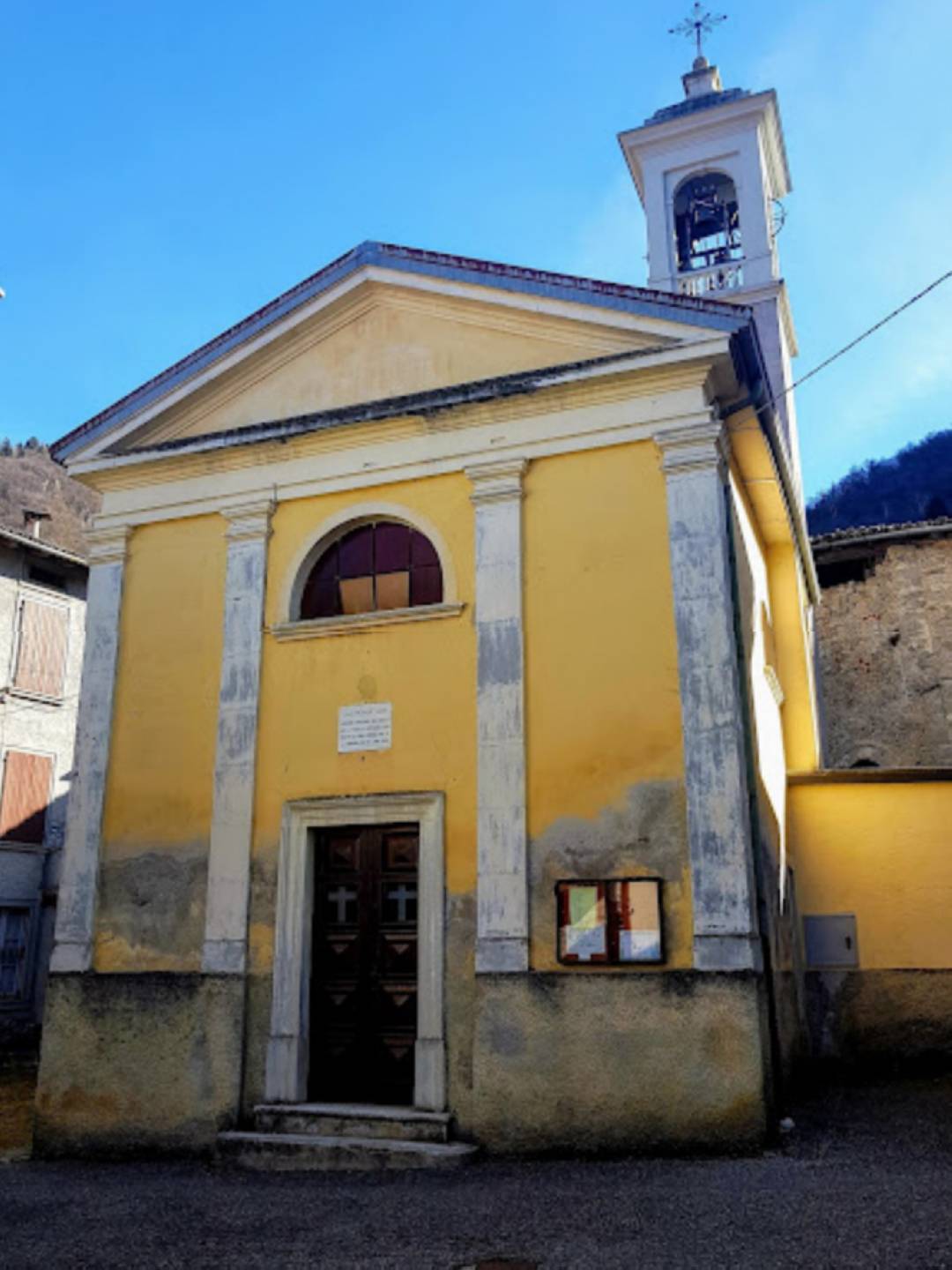
Possibly dating back to the 16th century, it is the parish church of Trafficanti, rebuilt and enlarged in the 18th century. It is dedicated to the patron saint of sailors, perhaps because of the local migrant routes towards Venice during the period in which the area was under the rule of this city.
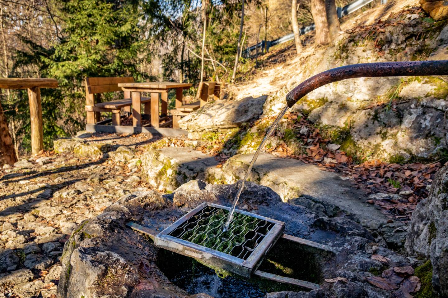
The Serina ridge slope is particularly rich in springs, and several, like this example, are located along or near the Mercatorum Way.
Dedicated to Our Lady of the Holy Rosary of Pompeii, it was built in 1890 and restored in 1925.
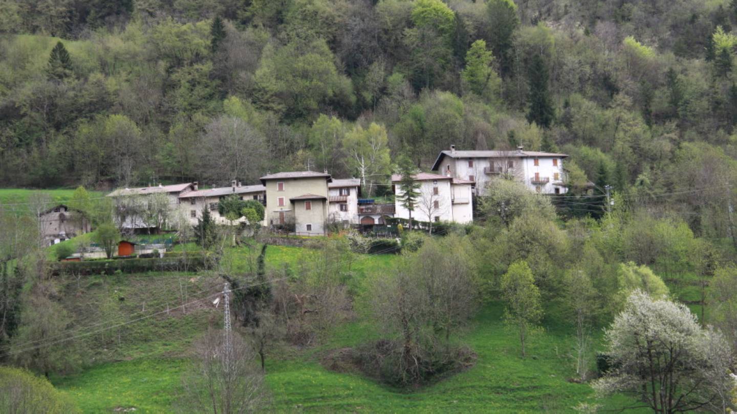
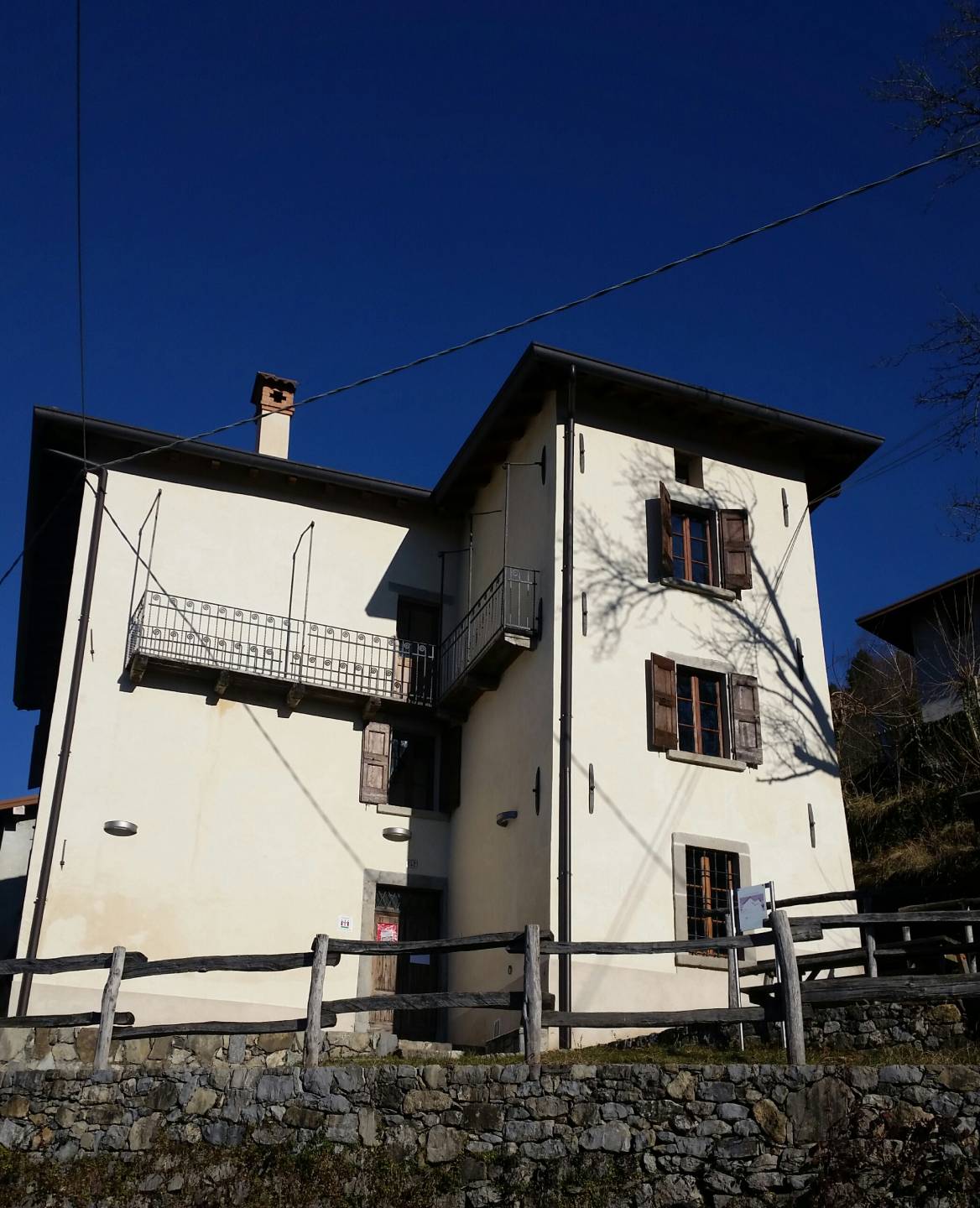
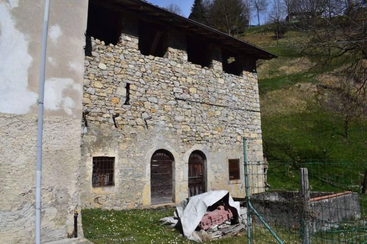
Located on the Mercatorum Way, more specifically at the junction with the path leading to the Ascensione district, it is part of the parish of San Lorenzo. Trafficanti once numbered over a hundred inhabitants. It had a bakery and an inn. The locality is famous for the house where the Capuchin friar Cecilio Maria was born.
Baptised Pietro Antonio, he was born in 1885 into Lorenzo Cortinovis’ and Angela Gherardi’s family, farmers. Piero Antonio was the seventh of eight brothers and sisters, all extremely religious. His devotion was evident from his earliest years. Joining a number of monasteries, he performed various religious offices. Called to arms during the First World War, he was discharged for health reasons. The experience was difficult, but it further strengthened his faith, to the point that the serenity with which he carried out his duties was an example to soldiers and military leaders. He died in Bergamo in 1984. The process for his beatification is currently ongoing.
A particularly fine artefact, consisting of three basins, each with its own function: watering trough for animals, wash basin, and drainage basin.
Another rustic spring located a few steps from the Mercatorum Way.
This shrine is situated in a beautiful environmental setting near the Nespello district. It celebrates the Madonna of the Snow, depicted in a painting in the presbytery, but there is no documentation on any prodigious events that originally prompted devotion. The original oratory, mentioned in Borromeo’s apostolic visit (1575) was renovated several times, and it was rebuilt in 1924. Inside there are several works, including a Deposition by an unknown artist.
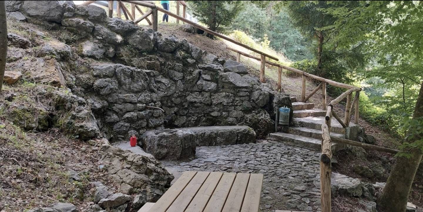
The water emerges from the rock by means of skilful work on conduits; it flows into an artistic well surrounded by stone seats and then irrigates a well-equipped garden, accessible by means of steps.
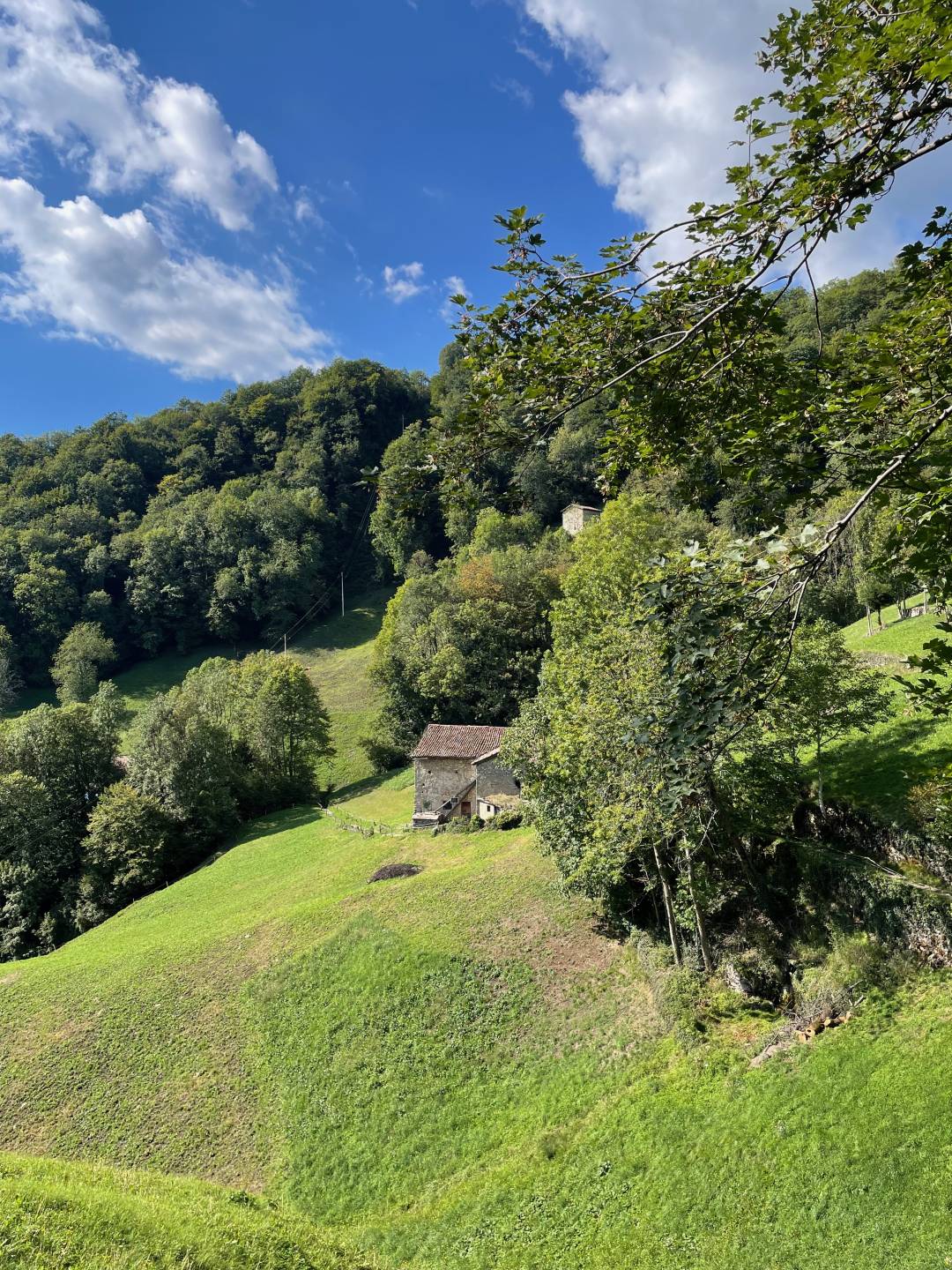
According to late 19th-century chorographical reports, the Costa Serina area was rich “in extensive pastures, utilised during the season of upland alpine grazing by herds of cattle from lowland regions, therefore dairy products are made here.” Along the road to Tagliata, the agricultural landscape retains its character with pastures, woodlands and some old rural buildings, used as stables and barns.
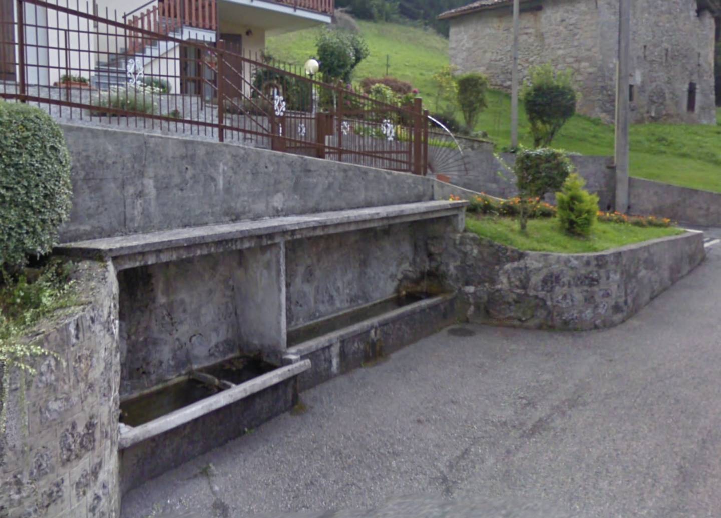
The basin, probably of 18th-century origin, divided into a drinking trough and wash-basin, has a spout decorated with a stone mask.
This hamlet takes its name from the fact that it is “cut” into two parts by the road that runs through it. It has just six inhabitants, but the district has an important history, as it is located on the original Mercatorum Way. In former times, it had its own administration, a cemetery at Ponticello, a church at Córegn and a vicarage. The location also had a factory and a kiln with a clay quarry for firing cóp, the local name for roofing tiles, and bricks.
On the ruins of an older chapel, formerly dedicated to Santa Maria Addolorata (Our Lady of Sorrows), the small church currently visible in Tagliata was built in 1836. Very simple, it has a small bell tower with three bells. Inside, above the altar, a statue of Our Lady of Sorrows is venerated. Also worth noting are the rustic buildings behind the church with pointed and round-arched portals.