The presence of the main town in the upper valley affects the route of the Priula Way, which follows the historical path closely up to the church of San Carlo and on through the subsequent districts of Pissamora, Vacchera and Mostacina. Then, in order to avoid the provincial road towards Olmo, the route diverts to the right bank of the river Brembo di Mezzoldo, by means of a metal footbridge, intersecting the CAI n° 127A path. In the forest, the track climbs and peaks at an altitude of about 680 metres, near the municipal boundary, and then descends towards Cugno di Sotto.
Tracciato Storico
After having reached the edge of the flat terrain surrounding Piazza Brembana, the Priula Way ran around the parish church and entered the village, which at that time had clearly-visible quarters and whose inhabitants tended cattle. The new road brought people and bustling trade, to the point that it became the main thoroughfare, as can still be seen today from its ancient buildings, comprising the Orenghi and Pissamora quarters. A customs building, no longer standing, was situated at the entrance to the village. On leaving Piazza, the road continued along the left bank of the river Brembo towards Campelli and Olmo.
Itinerario escursionistico
Difficoltà: Turistico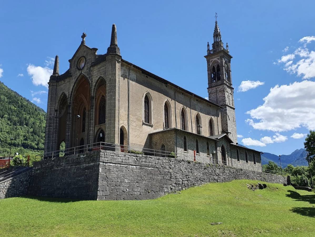
Parish church of San Martino oltre la Goggia. A Neo-Gothic church built in the second half of the 19th century to a design by the architect Antonio Preda, modifying the previous 15th century church. The ancient bell tower, now higher, had been designed for the crossing tower by architect Mauro Codussi in 1490. Inside, there is a 1503 polyptych of Saint Martin by Lattanzio Da Rimini, a large canvas by Gregorio Lazzarini, two canvases by Carlo Ceresa and sculptures of the Dead Christ, the Madonna and an altar bench by Andrea Fantoni; the high altar is the work of local artists.
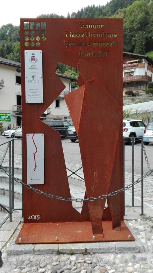
Calvi Brothers Ecomuseum. Inaugurated in 2015, the Ecomuseum is named after the four Calvi Brothers, who gave their lives serving their country during the First World War. Along the ancient Priula Way, on what are now Via Fratelli Calvi and Via San Bernardo, there are many stelae accompanied by photographs, reproductions of original documents, and captions telling the story of the famous brothers, such as letters of condolence from Gabriele D’Annunzio, his friend Cesare Battisti and the highest authorities of the day. (https://www.visitbrembo.it/it/dove-andare/poi/ecomuseo-fratelli-calvi)
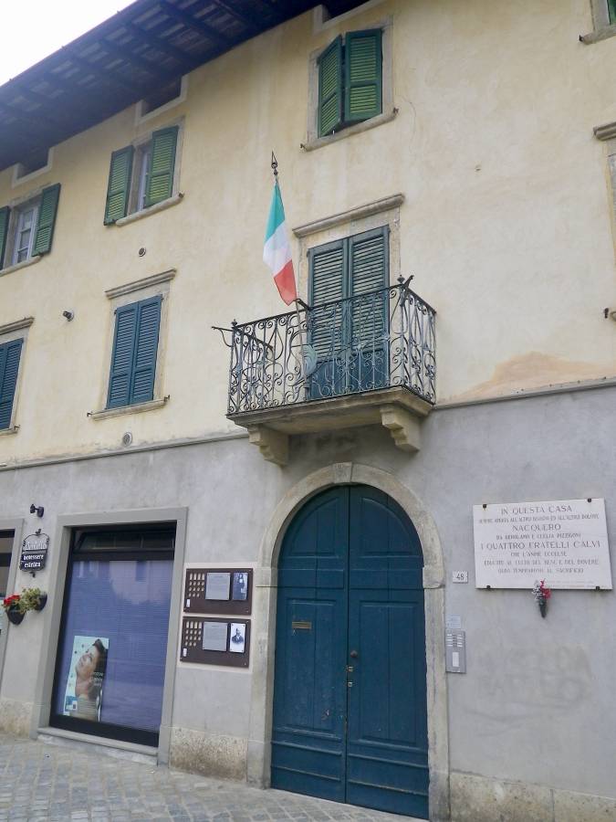
The Calvi home (Via Fratelli Calvi 48). Born in Piazza Brembana towards the end of the 19th century, the four Calvi brothers enlisted for the Great War. Two died on the battlefield, two a short time later. They received numerous medals for their valour and were recognised as heroes for their exploits. On the first floor, a shrine houses documents, letters, decorations and photographs of the brothers.
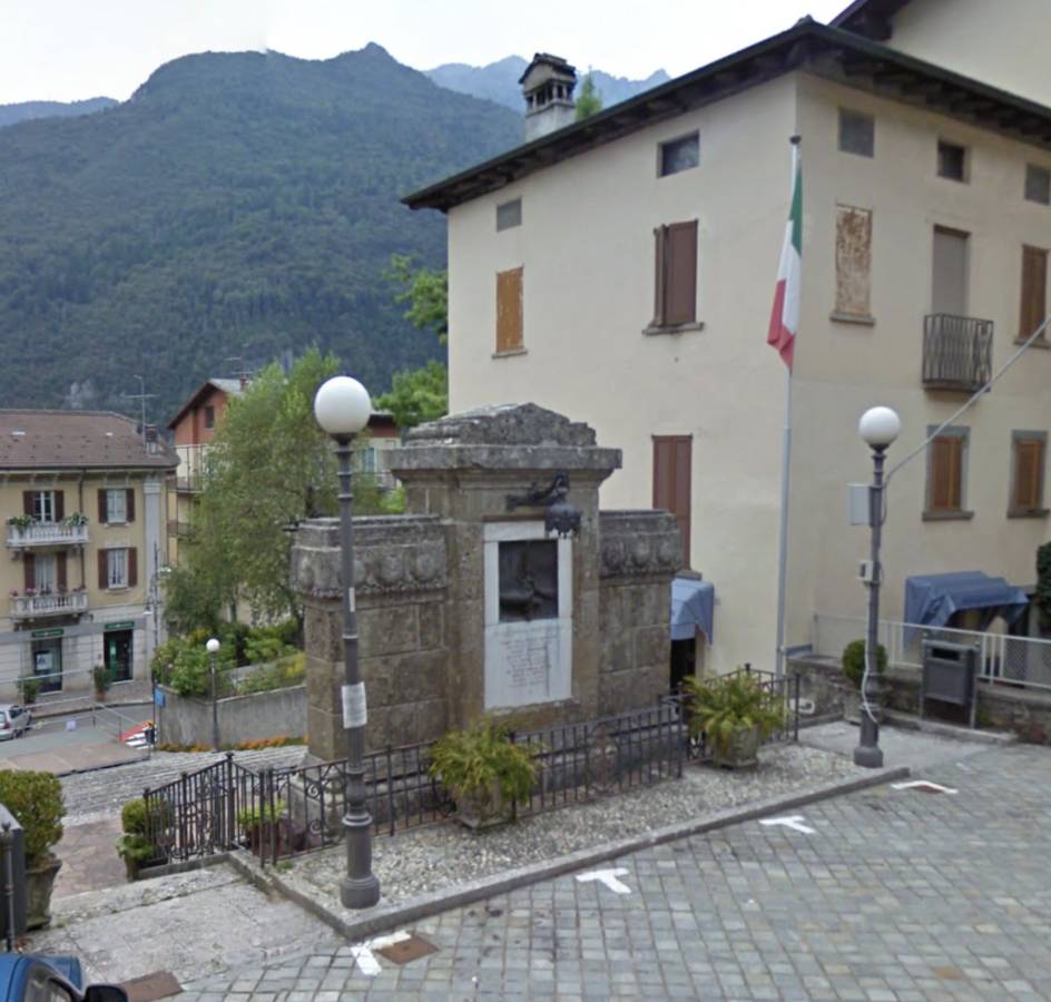
Monument to the Fallen (opposite the Calvi House) in Art Nouveau style, a design by engineer Luigi Angelini with sculptures by Giuseppe Siccardi.
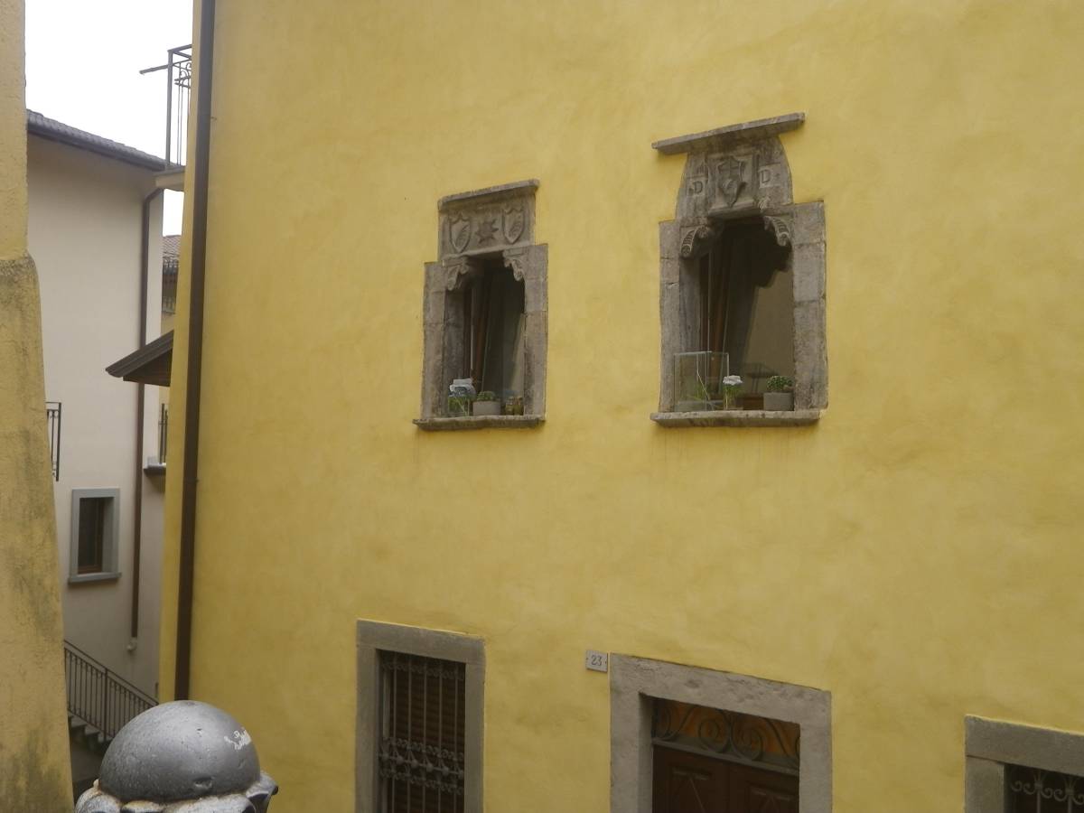
The Gervasoni Goglio House (Via San Bernardo). The Gervasoni, previously Donati, house is an old building dating back to the 15th century, the period from which the two beautiful stone windows finely carved with the Donati and San Bernardino da Siena coats of arms remain, crafted by Mauro Codussi in about 1480. Alongside, in a lesser state of preservation, is the house where Eugenio Goglio was born. He was a sculptor and artist, but better known as one of the first photographers of the day.
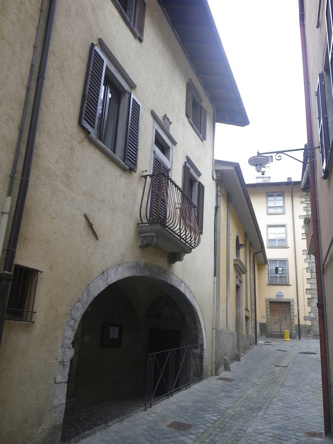
House of the Venetian Vicario. Next to the Oratorio of San Bernardo, above a stone archway is the house of the Venetian Vicario, who governed the territories of Quadra dell’oltre la Goggia from here. Opposite is the large, long building that was the gendarmerie.
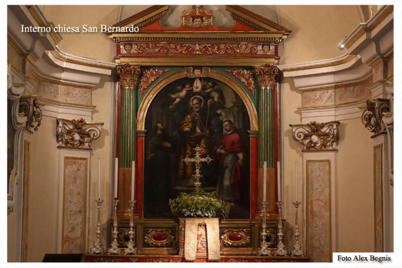
Church of San Bernardo. A small church, built in 1364 and refurbished in 1717, hidden in the like-named street as part of the former Franciscan monastery and the Magistrate’s Court building. Its bell tower can be seen with, at the top, a statue of Mary Immaculate, celebrated with a ceremony on 8 December. The simple hall plan interior has many works of art. The altarpiece dates back to 1615, by Andrea Michieli, with Saint Bernard between Saints Francesco and Carlo.
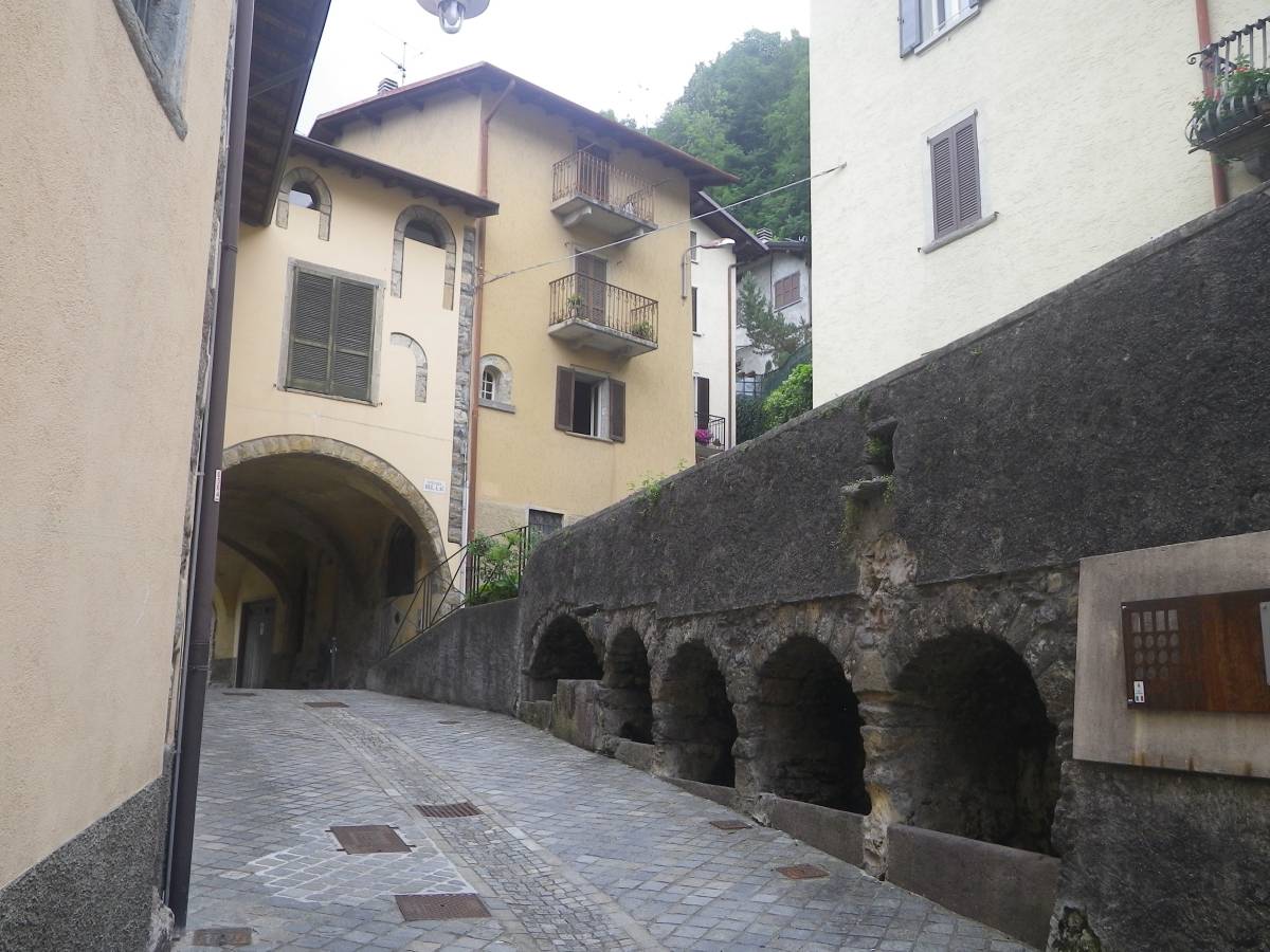
Ancient wash-house. From the old wells, water was used for drinking troughs and a wash house, which can still be seen.
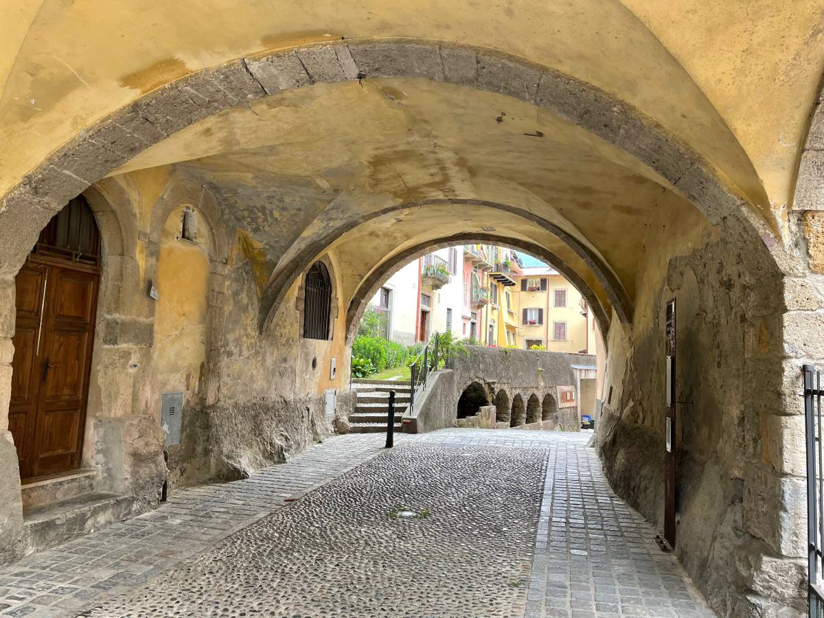
Pedestrian passageways particularly striking for their well-preserved features incorporating items such as fountains, memorial slabs and ancient wells.
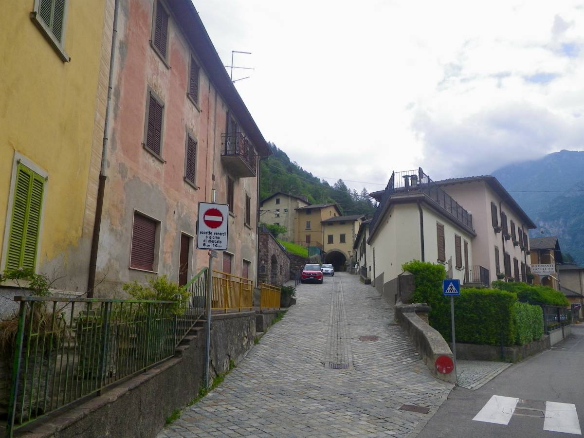
(Orenghi district). One of the ancient contrade (quarters) into which the town of Piazza was divided, with Palazzo Donati, on which the family coat of arms can be seen, dating back to about 1480. Opposite is the Goglio house with its sculpted windows. Further on is the square named Piazzetta Giacomo Calegari (painter, 1848-1915) with a beautiful stone fountain dating back to the 18th century.
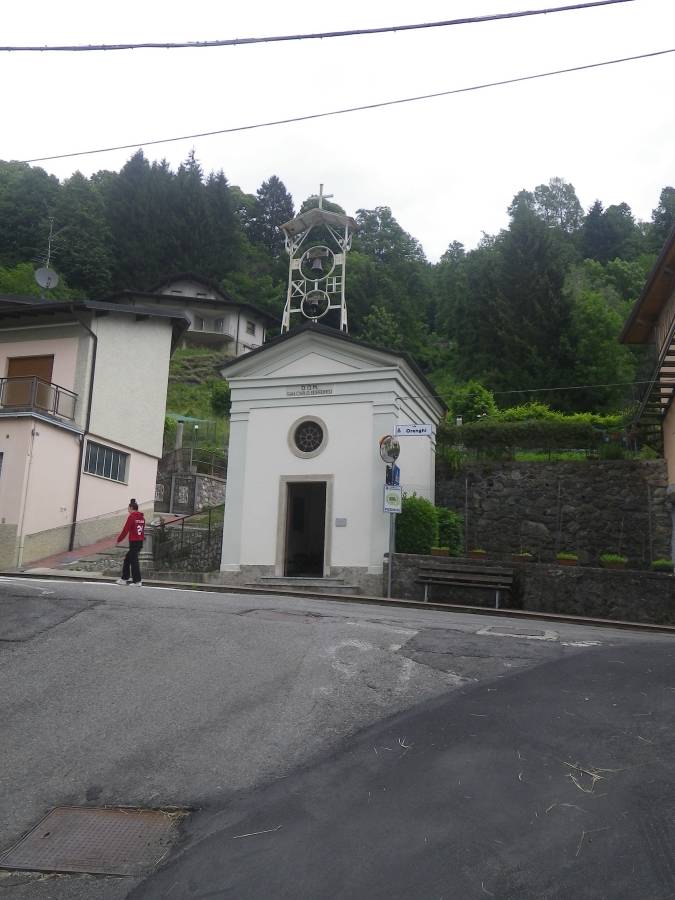
Church of San Carlo. Built in 1614, it was the first church in the Bergamo area dedicated to the Saint. Inside is a copy of a painting by artist Carlo Ceresa, the original version of which is in the church of San Bernardo.
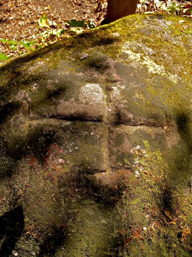
Engraving on rock near Fosso dei Campelli. It marks the traditional municipal boundary between Piazza Brembana and Olmo al Brembo.