In the municipality of Mezzoldo, starting from the cemetery, the historical and hiking trails coincide and continue without interruptions up to the pass, Passo San Marco, on the boundary with the Province of Sondrio. The initial stretch from the Val di Sera valley to the Mezzoldo cemetery continues along the Via del Ferro trail. As regards hiking, this is the most challenging section in terms of distance (12.2 km) and vertical ascent (1,370 m).
Tracciato Storico
“While the old track reached the parish church from above, the Priula Way on the other hand flanked the cemetery, running uphill from below. From here it climbed through the village of Mezzoldo where, in 1706, a large building was constructed to collect the 4 or 5 soldi per pack animal intended for the maintenance of the road to San Marco. From this village, the Priula Way can still be walked almost entirely along the original route to the San Marco Pass, which has only recently been partly improved with new paving. In some sections, it intersects with the SS 470, built in 1966 to connect the Valle Brembana valley to Valtellina. The Priula Way reached Ponte dell’Acqua (1,272 metres) after about an hour’s walk from Mezzoldo. Here it ran uphill with several hairpin bends in a pine forest until it emerged in sight of the location named Ancogno at an altitude of 1,657 metres. Here today there are a few mountain huts used by herdsmen during the summer months of alpine grazing. Leaving the houses of Ancogno behind, in about half an hour’s walk the path reached the casa cantoniera, roadman’s house, a stopping place that Priuli installed to offer food and lodging to wayfarers after the climb, which was very demanding from both directions, Bergamo and Valtellina. Another half an hour’s walk brings travellers up to the San Marco Pass, at an altitude of 1,985 metres, the final border between the Most Serene Republic of Venice and the Republic of the Three Leagues.”
Itinerario escursionistico
Difficoltà: Turistico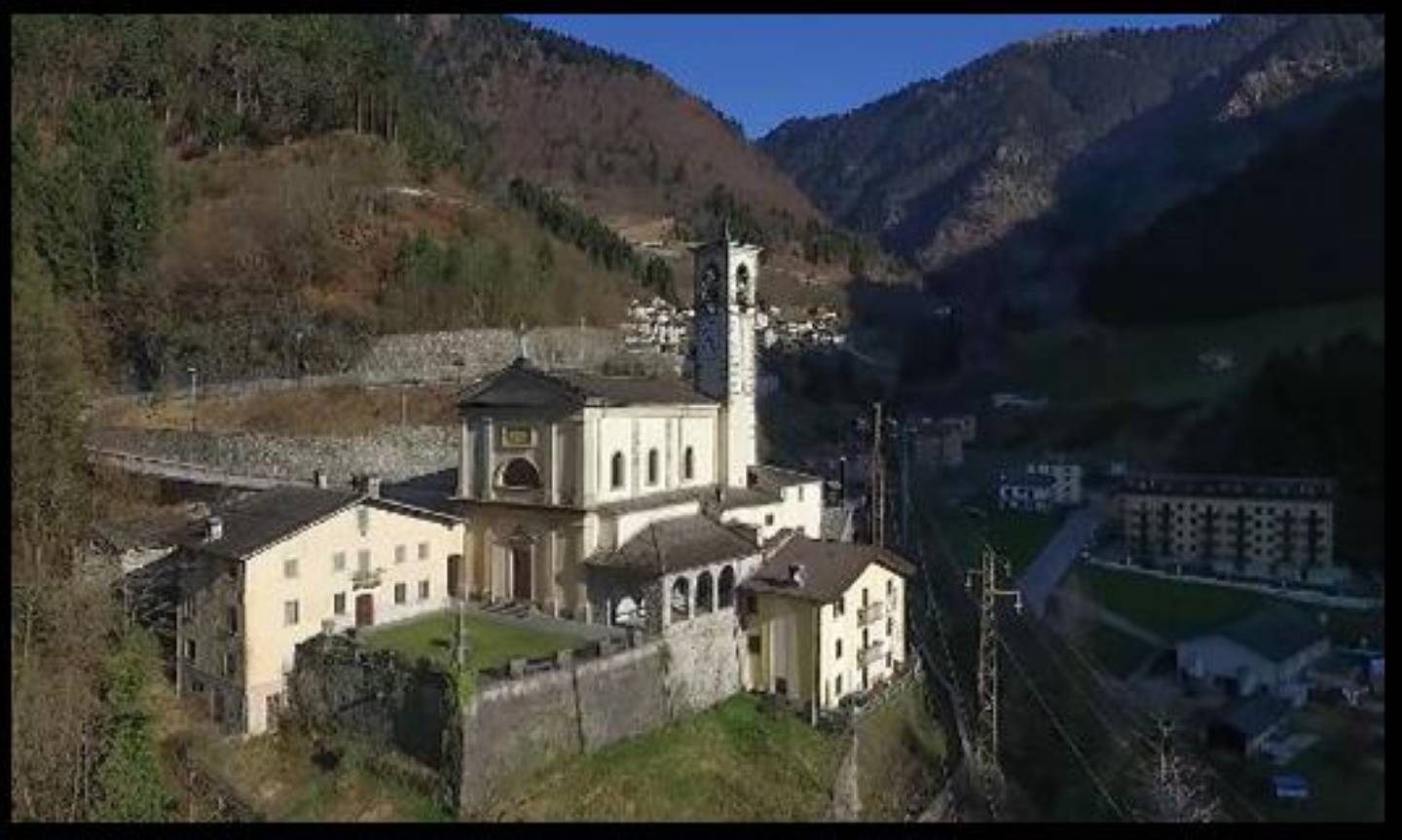
Parish church of San Giovanni (St. John). The parish church dedicated to Saint John the Baptist was built in the late 15th century. It houses a wooden altar and pulpit attributed to the famous Rovelli inlay artisans, and a valuable altarpiece dating to the early 1500s by Lattanzio da Rimini in tempera on panel, depicting the saint after whom the church is named, between St John the Evangelist and St Peter. From the large, green churchyard there is a splendid view of Monte Torcole and the valley towards Piazzatorre. (https://www.visitbrembo.it/it/dove-andare/poi/chiesa-parrocchiale-e-chiesa-di-san-rocco)
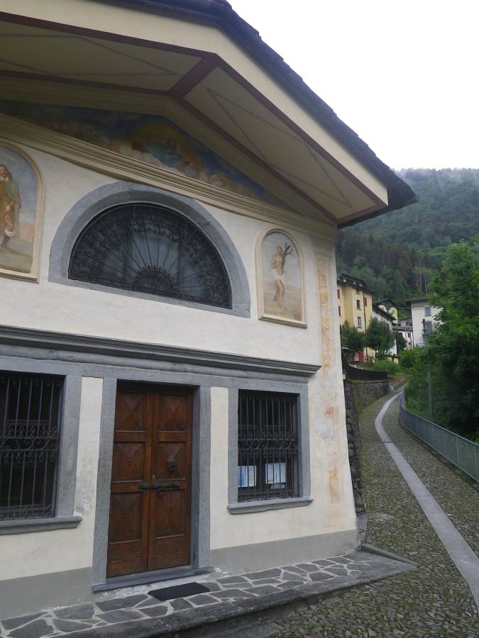
Parish church of San Giovanni (St. John). The parish church dedicated to Saint John the Baptist was built in the late 15th century. It houses a wooden altar and pulpit attributed to the famous Rovelli inlay artisans, and a valuable altarpiece dating to the early 1500s by Lattanzio da Rimini in tempera on panel, depicting the saint after whom the church is named, between St John the Evangelist and St Peter. From the large, green churchyard there is a splendid view of Monte Torcole and the valley towards Piazzatorre. (https://www.visitbrembo.it/it/dove-andare/poi/chiesa-parrocchiale-e-chiesa-di-san-rocco)
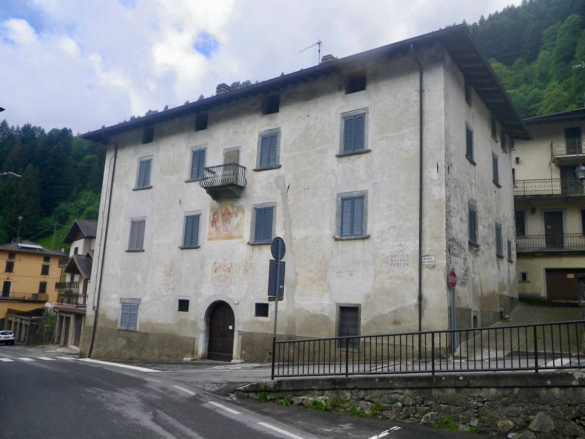
Old Venetian Customs House. The Venetian Customs House, on whose façade the frieze of the Serenissima is clearly visible, is a building of medieval origin converted into a customs house by the Republic of Venice in the early 18th century in order to request a non-compulsory tax from travellers crossing the San Marco pass. The building has been converted into private homes. (https://www.visitbrembo.it/it/dove-andare/poi/centro-storico-di-mezzoldo-AnM3JHpu8w-it)
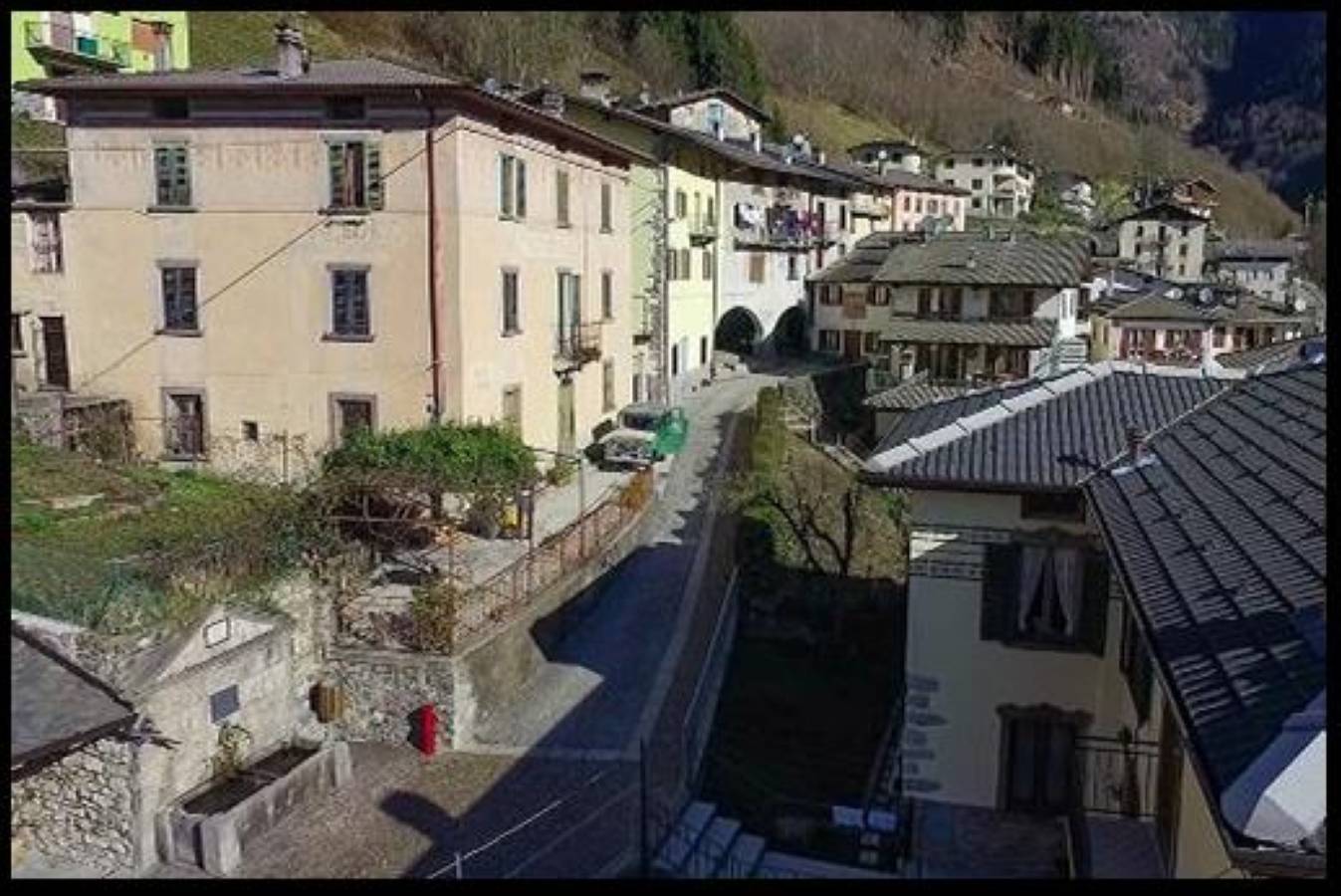
The old centre of Mezzoldo. As it is the last settlement in the valley, from when the Priula Way was built, Mezzoldo has always been an important logistics centre for the route. Historical documents report that Martin Luther, on his way to Rome, travelled on the Priula Way, staying in Mezzoldo and celebrating a mass there. The porticoes of Ca’ Bereri (the Bereri House which, together with Ca’ Maisetti, is one of the two historic buildings of medieval origin) were once used to provide wayfarers with food and drink. There is still an ancient portal, perhaps once the entrance to an inn, on which the engraving “Ostium non Hostium” (entrance only for friends) is clearly legible. There is an ancient sundial painted on the corner of a house behind the portico. (https://www.visitbrembo.it/it/dove-andare/poi/centro-storico-di-mezzoldo-AnM3JHpu8w-it)
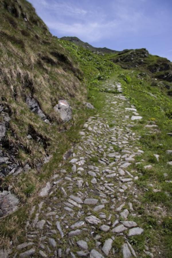
Original stretch of the Priula Way with road markers. Above Mezzoldo, in the stretch running towards Casera Ancogno and in the section beyond Ca’ San Marco, the Priula Way still has parts of the original paving, along with sections of later paving added in the various subsequent reconstructions, including the Austrian refurbishment performed in the first half of the 19th century. Several kilometre markers can be seen along the route, dating back to that period or just after, when the Way was declared a “national” road. They show the distance to Bergamo. During the Austrian rule, there were plans to restore the old route. More specifically, the route to the San Marco Pass was in competition with the road to the Aprica Pass and the route running up Lake Como when it came to choosing the best (and cheapest) direct road between Milan and Vienna across the Rhaetian Alps. In the end, the itinerary chosen was the lakeside route, planned by engineer Donegani in 1832, but the San Marco route was also largely reconstructed towards the end of the century. In fact, in this part, the road is much wider than just a simple mule track, even though the vegetation tends to conceal its true width.
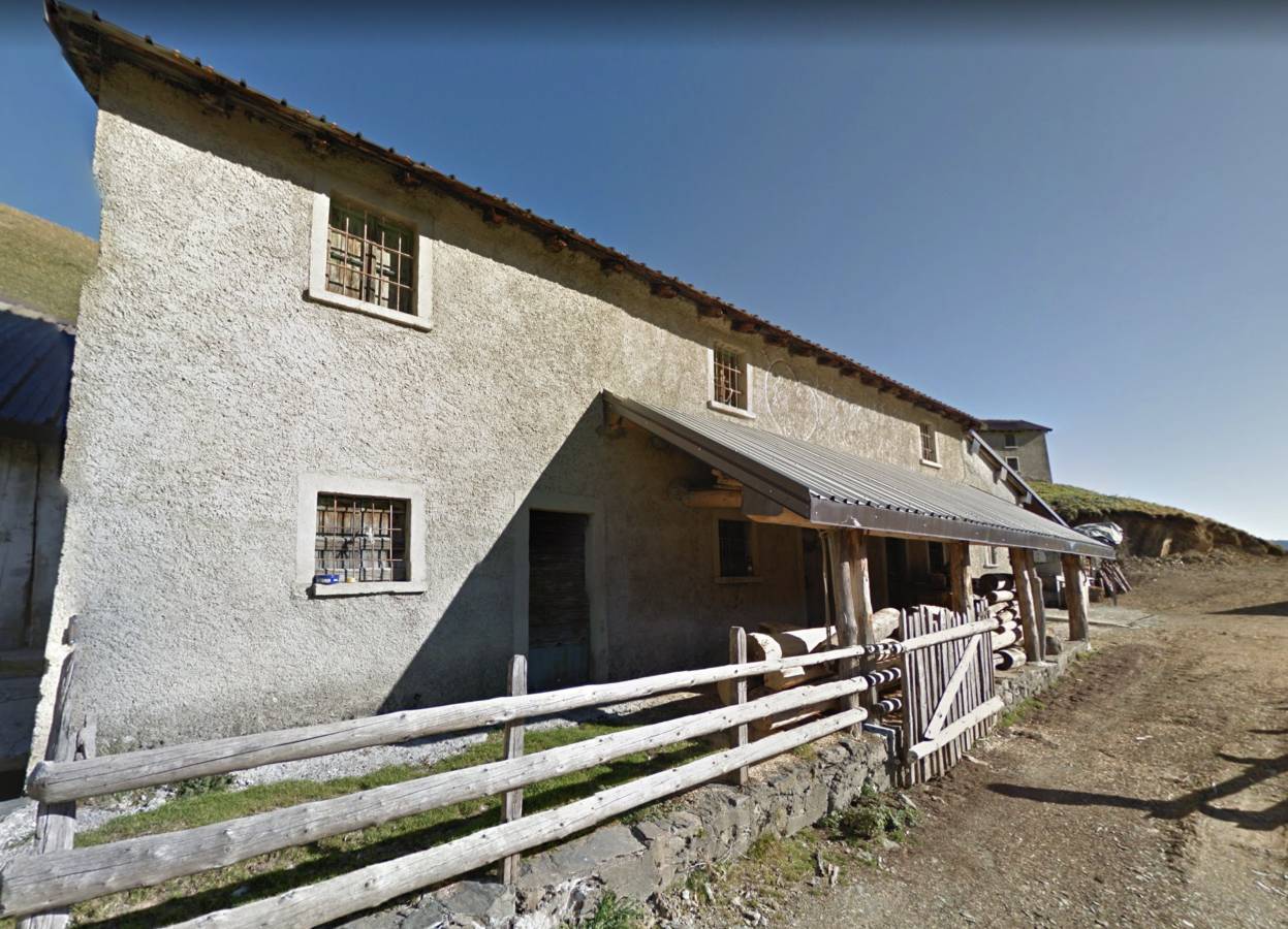
Casera Ancogno. This is the only high-altitude mountain pasture reached by the Priula Way on the Bergamo side. The two simple buildings, a few hundred metres apart and each with their respective stabling outhouses, are named Vaga (namely “in the shade”) and Soliva (“in the sun”). The summer transhumance of cattle to the nearby pastures is still performed here. The location is documented as “Casa d’Ancogno” (the Ancogno House) on 19th-century maps.
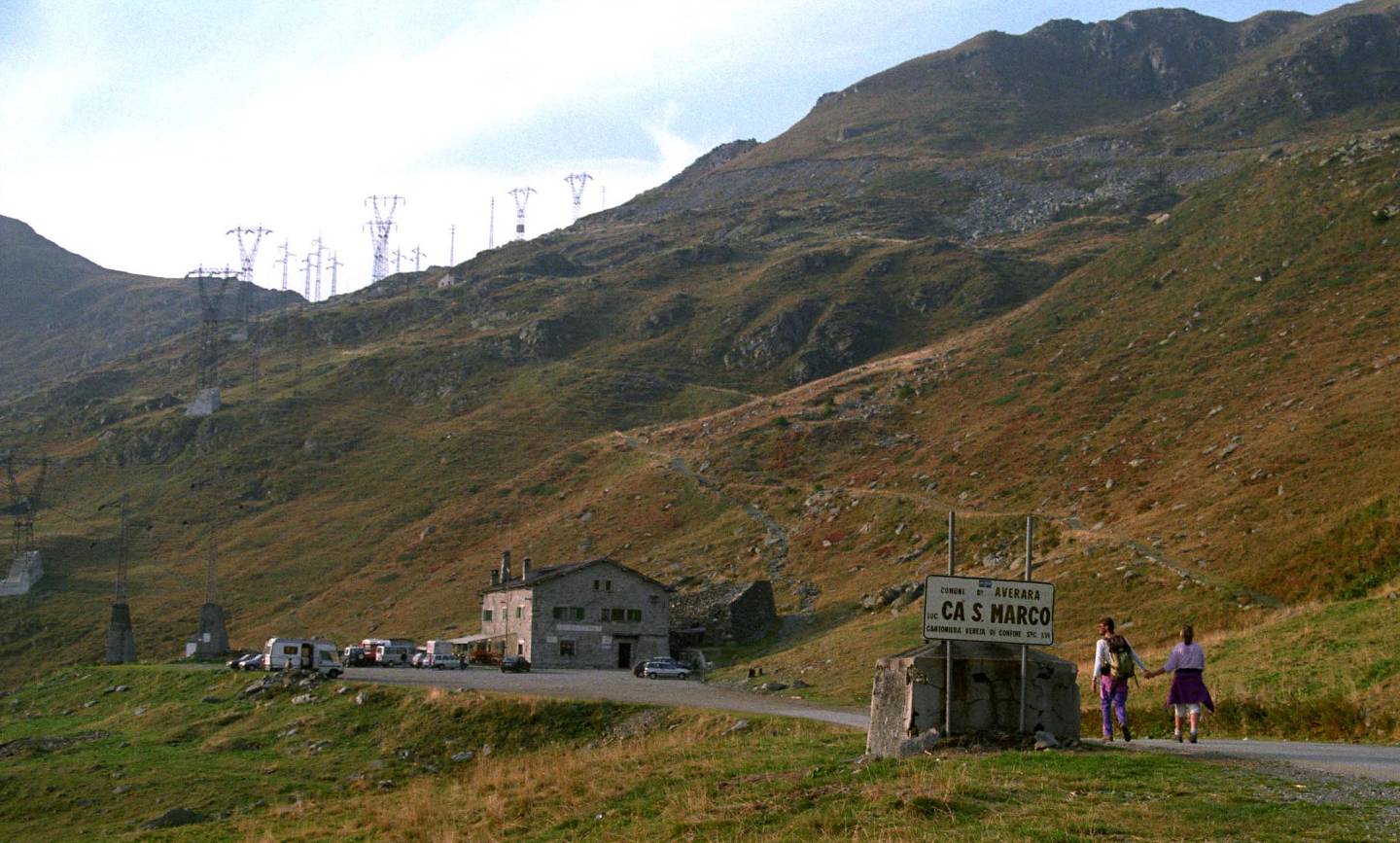
(the San Marco House). In addition to the Way, Priuli also built, just below the pass, a house that provided shelter for wayfarers and that was also a cantoniera (roadman’s house) for the maintenance of the route. In fact the journey from Mezzoldo to Albaredo took about seven hours (twice as long for a mule caravan) without any forms of hospitality. The construction of Ca’ San Marco began in 1593 and was completed in the summer of 1594. It had three stables, a tavern and five rooms for various uses, including a dormitory for wayfarers. It was not always inhabited. It was difficult to find keepers who, for meagre remuneration, would agree to spend long, miserable winters at those heights. It deteriorated with the arrival of new roads, and it was later rebuilt giving it its current appearance, with the lion of St. Mark on the façade along with various dedication plaques.
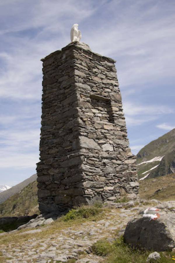
Monument on the San Marco Pass. Amongst the many passes of the Orobic Alps, the San Marco Pass, with its lower height, allowed a somewhat easier crossing between the upper Val Brembana valley and Morbegno, an important junction for trade towards the upper Valtellina valley on one side and the Chiavenna passes on the other. Up until the 18th century, the border between the Republic of Venice and the Grisons ran along the ridge. From the pass, the view over the Valtellina valley opens up to about 90°. On the right, behind a buttress of the peak Pizzo delle Segade, you can see Pizzo d’Orta (height 2,183 m), Monte Fioraro (2,431 m) and, behind it, Monte Pedena (2,399 m); on the left, the long ridge that from mount Cimetto (2,099 m) descends towards the Valle del Bitto valley, where you can glimpse, further down, both Dosso della Motta, on whose flanks the Priula Way descends, and, further away, Albaredo. The horizon, beyond the Valtellina valley, is formed by the Ligoncio group (3,033 m) and, further away, the peaks of the Val Masino valley, with the pyramidal Pizzo Badile (3,307 m) and the summit of Monte Disgrazia (3,678 m). A tall dry-stone monument, in the shape of a four-sided truncated pyramid, with a plaster eagle on the top, marks the highest point of the pass, also reached by the trans-valley road. Lastly, along the Orobic ridge, there are several emplacements of the Cadorna Line, built to defend Italy’s borders in 1917.