The Priula Way runs through the municipal territory of Olmo al Brembo almost entirely on footpaths, except for the section inside the town where it intersects with Via Mercatorum (Merchants’ Way) and Via del Ferro (Iron Way). From footpath n° 127 A, the Priula route descends to Cugno di Sotto and then reaches the right bank of the river Olmo. After branches to the Val Mora valley, the path crosses the main town and then begins the ascent of the Valle di Mezzoldo valley following the path on the slopes of the right bank, on the same route as Via del Ferro, and reaching the plainland of Sigadola at mid-slope.
Tracciato Storico
“At Olmo al Brembo, new works were performed to modify the route of the existing path that, before reaching this town, ascended to reach the hamlet of Frola, then descended and crossed the old bridge that was already in the centre of the village to cross the Brembo. The new route of the Priula Way, on the other hand, was built along the river, reaching the Olmo bridge along an easy, flat road that bypassed the plains area below Frola. At the Olmo bridge, the road forked: on the left, the road to Averara along the ancient route of Via Mercatorum through the Mora valley leading to the Albarino pass (San Marco pass). On the right, the old road, that would be replaced by Priuli, climbed up steeply to the beautiful quarter Sigadola, which still exists today. From here it continued along steep ascents and descents, remaining well above the river, crossing the Valle del Chiuso valley, running close to the hamlets of Casa Vassalli and Casa Bonetti and reaching the parish church of Mezzoldo from above. Priuli introduced an important variation to this latter part of the route: running flat along the river Brembo, the strada nova (new road) was hewn into the rock along a route that approximately mirrors that of today’s SS 470. It then shifted towards the left bank of the river Brembo, crossing the old Piazzatorre bridge, already in existence in the 15th century, which was modified and widened during the construction of the Priula Way.”
Itinerario escursionistico
Difficoltà: Turistico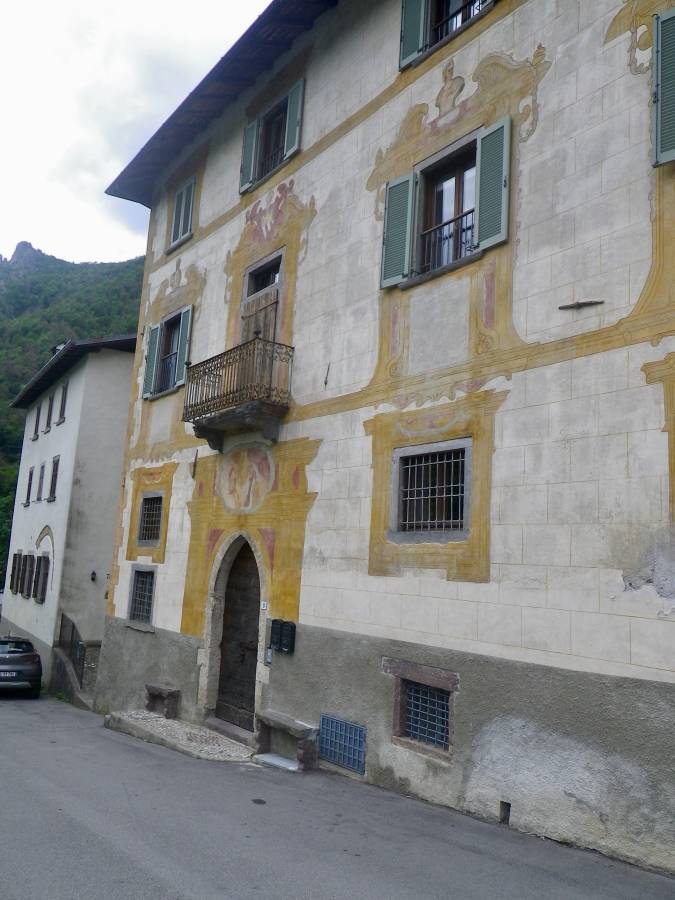
The Guarinoni House in Via Bortolo Belotti, with an interesting façade painted during the 18th century. Above the Gothic stone portal is a fresco of the Annunciation, by local artists.
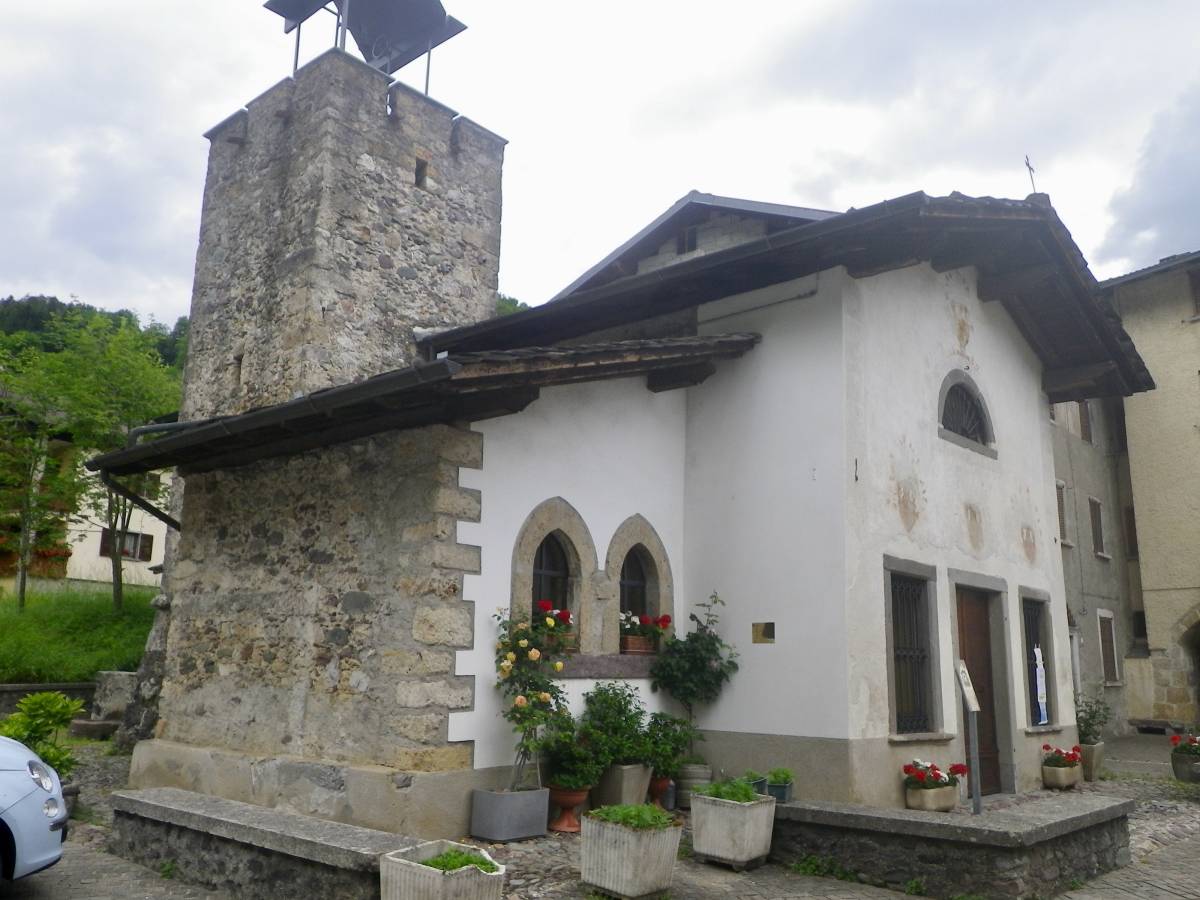
Oratorio of San Pietro in Cugno di Sotto
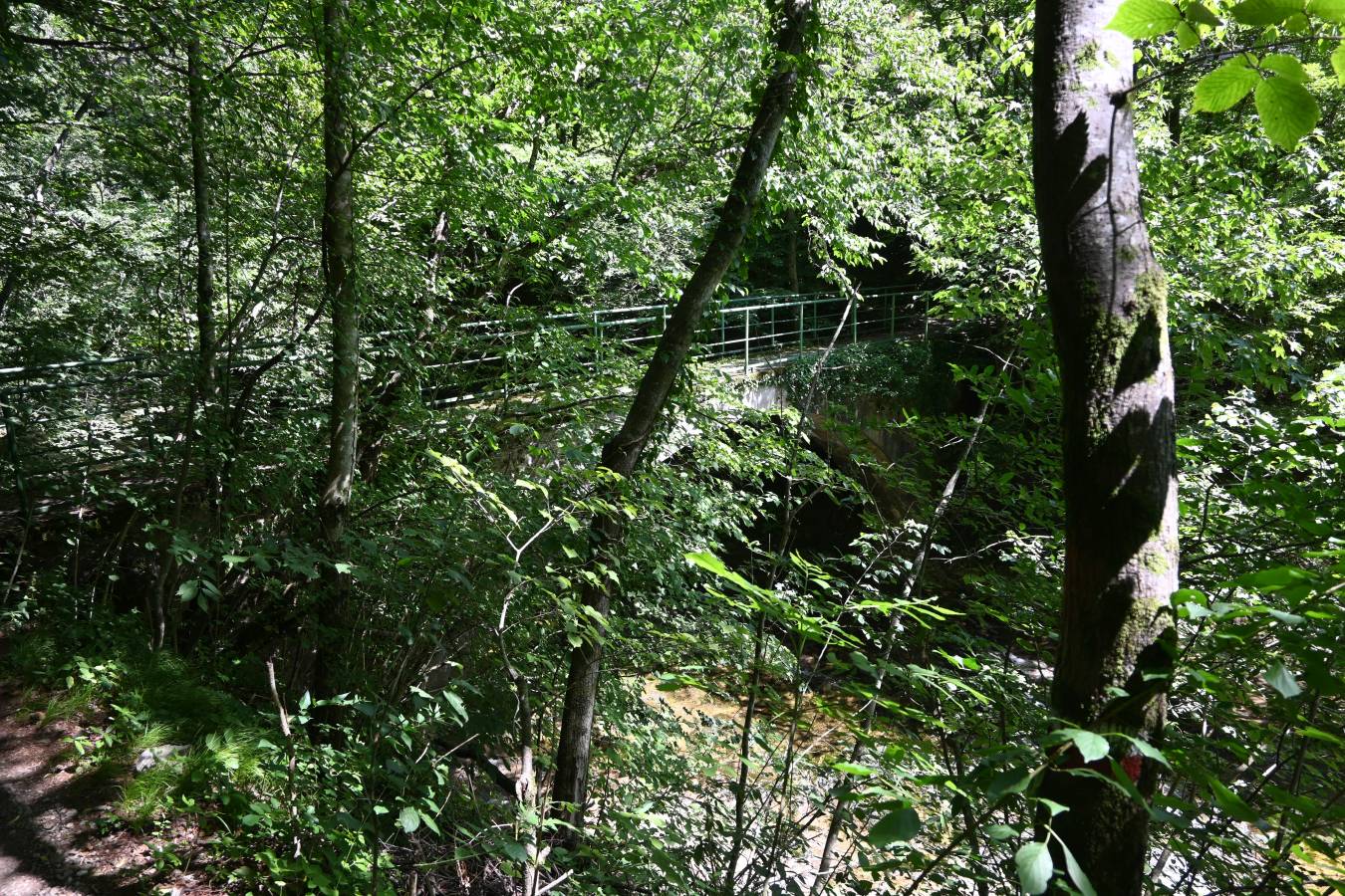
Bridge of Val Mora over the river Brembo
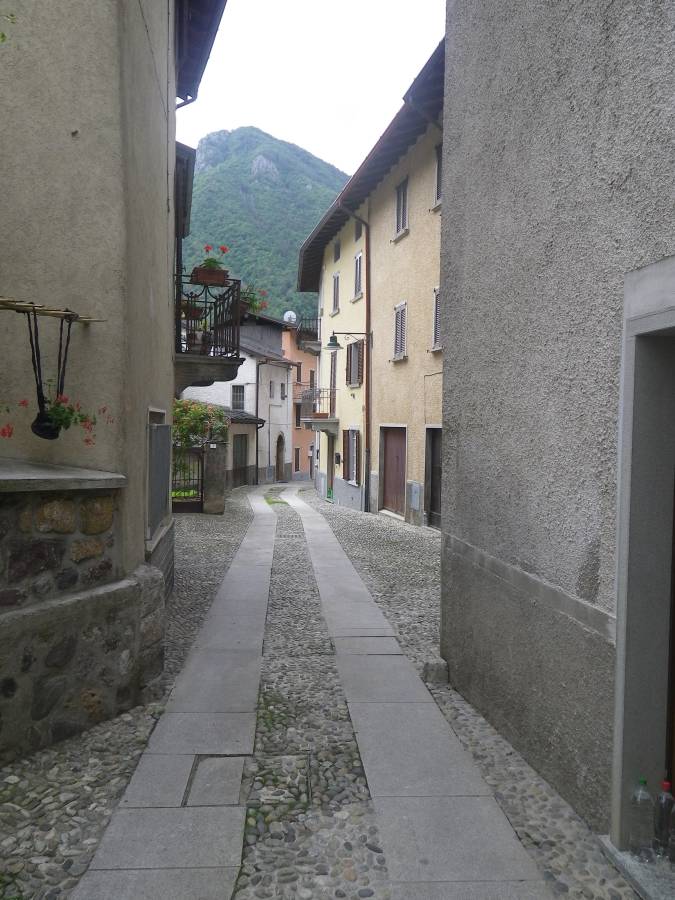
Buildings in Via Portici in Olmo al Brembo. Of particular note are the remains of a 16th-century building with porticoes and loggias of clear Venetian influence, as already noted by Luigi Angelini in 1930.
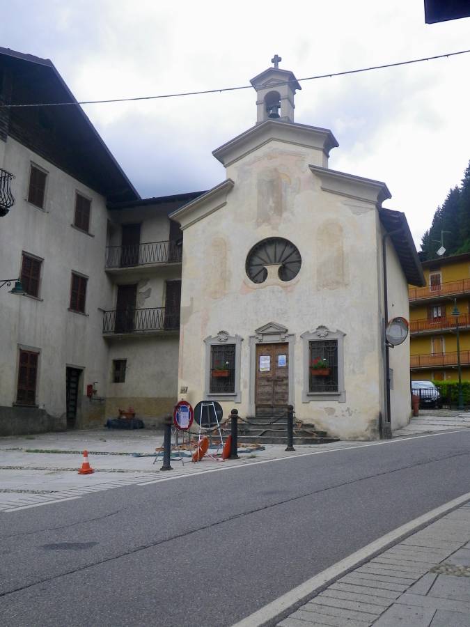
(St. Roch). A simple building with a gabled roof on two levels and a small bell tower. The façade has a portal and windows framed in grey stone. The oculus in the shape of a water lily leaf is particularly effective. Documented from the 1500s, it was rebuilt in the 17th century after a plague. Inside, there is a carved and gilded wooden high altar with an altarpiece of the Virgin between St. Roch and St. Sebastian, signed by Fabio Ronzelli in 1630.
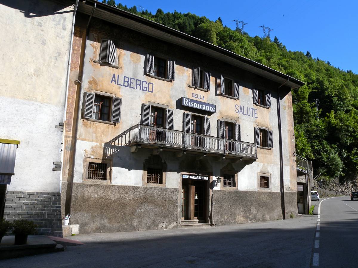
This old building (“Ancient Hotel of Health”) is on the road to Mezzoldo. In its courtyard there is an 18th-century fountain with the coat of arms of the Lazzarini-Bonetti family who transformed their home into a hotel in the second half of the 19th century.
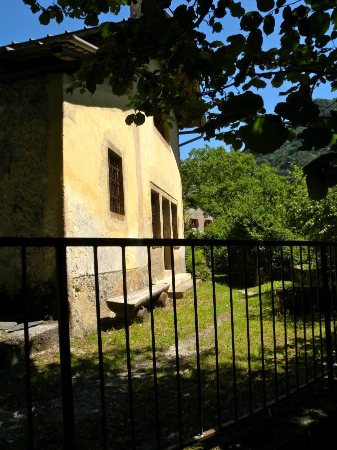
The old centre of Sigadola. Originally directly on the mule-track which went up the valley before the construction of the Priula Way, it comprises two groups of rustic buildings (some of which have been refurbished) and a small church, dedicated to St. Anthony of Padua. At its height it had a population of 200 people. The hamlet is surrounded by beautiful meadow land. The earth pyramids that can be seen behind the hamlet are an interesting geological feature.